Which map should I use?
If you ask someone from the UK, they'll probably say to use the Ordinance Survey (OS) maps (the official government ones), and to carry paper maps and bring a compass for god's sake! They're very into being prepared here... but don't worry, you will be fine, I mean there's nothing here that will eat you, and there'll be a farm store, cafe, or pub around the bend. They might also tell you that cycling isn't very nice here because drivers don't respect cyclists. This may be true compared with mainland Europe, but as a North American you'll probably think the UK is the promised land for cycling. Plus, on the dedicated cycle paths, back lanes, bridleways and byways you're going to be on, that's a non-issue.
So to be sure, OS maps are technically the most accurate, and accuracy can be important for knowing which trails allow bikes, and which dirt roads have public rights of way. On top of that, OS maps have all the cool castles, ancient sites, military structures, etc... However, I've found the OS map app to be a bit of a pain to use, and don't like pulling out paper maps every time I come to an intersection (and you'll come to many).
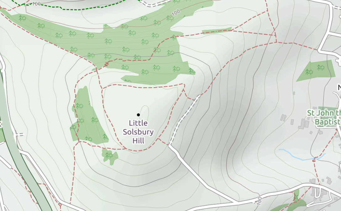
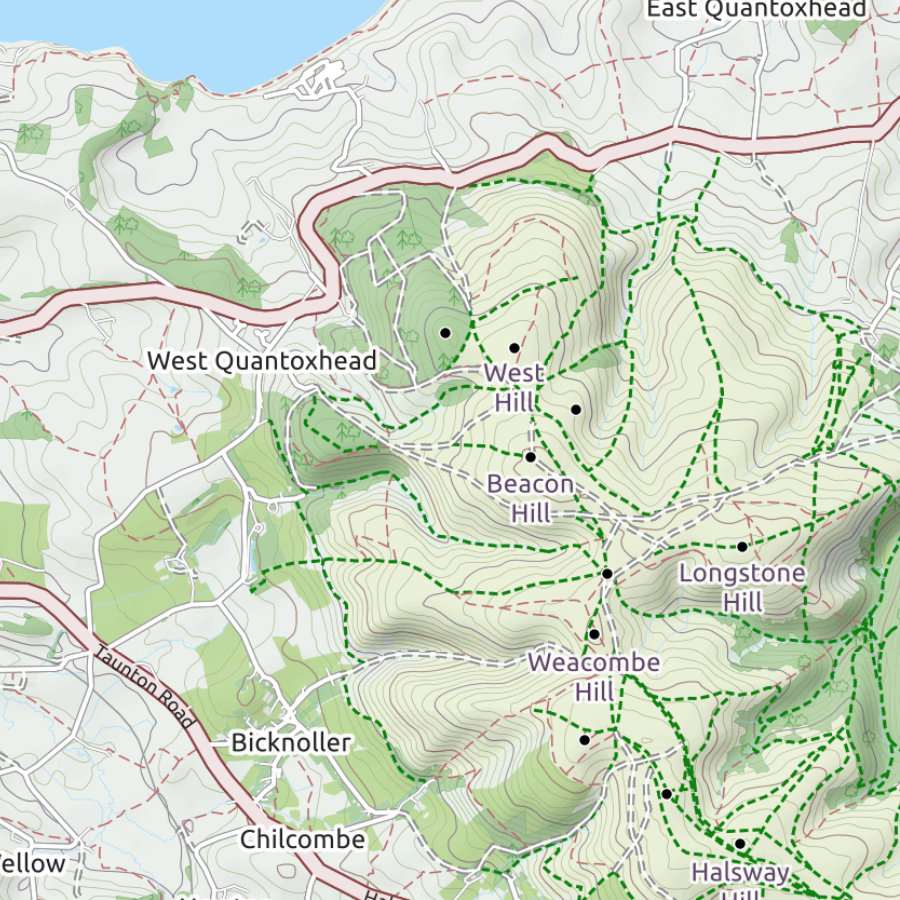
That's ok, there's a solution - the OpenStreetMap cycling layer is perfect for hiking and biking, widely available on navigation apps such as Gaia, or Ride with GPS, and pretty damn accurate! The header above is showing the cycling layer for the Isle of Purbeck, which is a wonderful place to ride or hike on Dorset coast (southwestern coast of England).
So to be sure, OS maps are technically the most accurate, and accuracy can be important for knowing which trails allow bikes, and which dirt roads have public rights of way. On top of that, OS maps have all the cool castles, ancient sites, military structures, etc... However, I've found the OS map app to be a bit of a pain to use, and don't like pulling out paper maps every time I come to an intersection (and you'll come to many).
That's ok, there's a solution - the OpenStreetMap cycling layer is perfect for hiking and biking, widely available on navigation apps such as Gaia, or Ride with GPS, and pretty damn accurate! The header above is showing the cycling layer for the Isle of Purbeck, which is a wonderful place to ride or hike on Dorset coast (southwestern coast of England).
THERE ARE SOME IMPORTANT RIGHT OF WAY DISTINCTIONS YOU NEED TO BE AWARE OF, AND YOUR MAP NEEDS TO DISTINGUISH BETWEEN THEM!
Footpaths
|
A footpath is meant for walkers. You'll find these pretty much everywhere and are generally well signed. It can be possible to walk your bike through a footpath, but often they're through a farm where they don't want bikes scaring the animals.
In Scotland, you're now allowed to ride bikes on footpaths! There's talk of doing this in Wales too. |
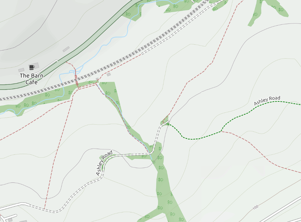
Footpaths are red-brown dashed lines on OpenStreetMap
|

bridleways
|
Bridleway (usually green dashed line on OpenStreetMap, sometimes dashed road line)
These are historic rights of way on which horses are allowed to trod. While cycling in the UK, you should consider your bike to be your trusty steed, because you are allowed to go on all the horsie trails (unless you see a sign saying no bikes)! Bridleways range from double track gravel paths, to very narrow tracks through overgrown nettles and bramble. But generally, they're good fun and you'll get a feel for what to expect in the area you're in. Usually well signed with a horsie symbol. |
Bridleways are generally green dashed lines on OpenStreetMap, although sometimes they're marked with the dashed road symbol
|
byways
|
Restricted Byways and Byways
Dirt roads or paths. The restricted usually means motorized vehicles are no longer allowed. These are shown on the map with the dashed road line. However, bear in mind that private roads are also usually shown with the dashed road line. A good tip is to look for footpaths and bridleways that connect to the dashed road, in which case the dashed road is probably a right-of-way. |
|
official cycle routes
|
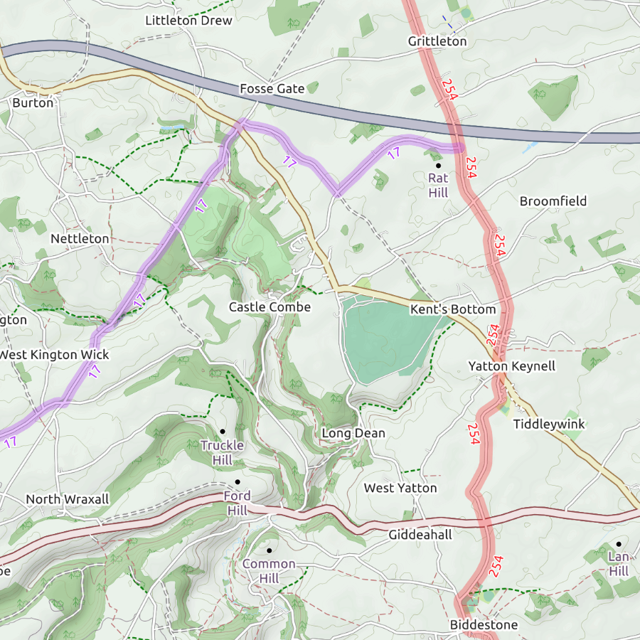
National Cycle Route (red highlight with a identifying number)
There are many dedicated cycle paths that help form the National Cycle Network. The national routes generally avoid putting you on busy roads, and a meant for people on standard touring bikes, so you'll find some tame dirt sections, but nothing too rough. These are great for getting around the UK by bike, but from my experience, you'll want to branch off of them to get to the best stuff. Regional Cycle Route (purple or blue highlight) These tend to have names, like the Wiltshire Way, and no guarantee that they won't have some rougher sections. These are fun! |
|
mountain bike trails
|
These are shown with an orange highlight. These tend to be at trail centers, which are publicly or privately run mountain bike trail systems. Generally you'll find many trails within a small area.
|

Shown as dashed line with orange highlight on OpenStreetMap
|
